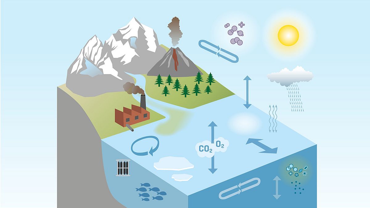
How Model Simulations Help to Better Understand Our Climate System
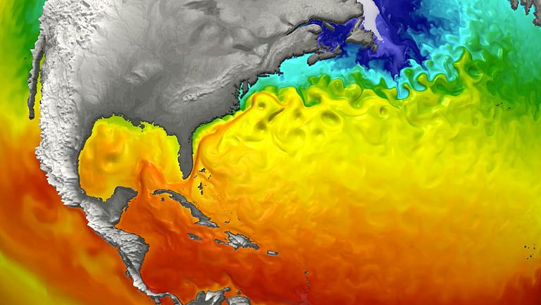
Observational data collected from ships or measuring platforms provide an important basis for understanding the ocean and climate. But even with the very latest technologies and thousands of measuring instruments in use, it is not possible to capture the state of the global ocean or atmosphere with the required accuracy. This is why climate models are necessary to better understand natural processes in computer simulations and to estimate possible future developments.
Model simulations enable science to extend knowledge about the Earth spatially and temporally beyond the data measured on site, based on the laws of physics. However, the numerical models only provide an approximation to reality, since not all processes can be represented at high spatial resolution, even with very large computers.
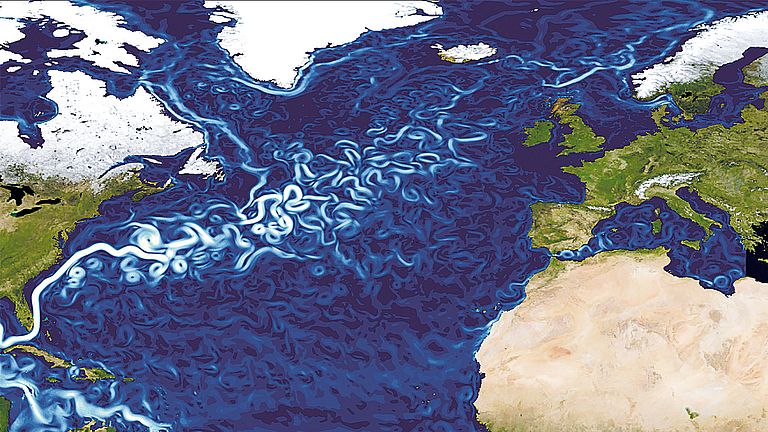
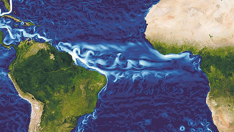
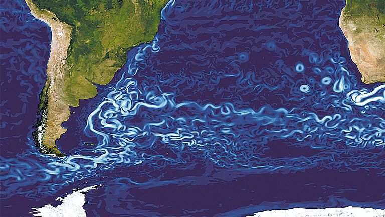
At GEOMAR, very different simulations are used for this purpose: regional, very high-resolution ocean models for studies of several decades, coupled models of ocean and atmosphere, which, depending on the resolution, can also cover periods of centuries, up to simplified models that cover long periods of time or with which a certain scenario is calculated very often in order to estimate the range of results. This is because the smallest differences in the starting conditions can lead to very different developments after a certain time due to the chaotic nature of air and water currents. This is another reason why a comparison with measured data is always very important.

Research news: Model Simulations



![[Translate to English:] Sunst over the Mediterranean sea](/fileadmin/_processed_/e/6/csm_2024_M198_c_Katja-Matthes__25___2_-5_9c9af006f3.jpg)


![[Translate to English:] x](/fileadmin/_processed_/e/e/csm_Humboldt_YingCui_493c68cd2c.jpg)
![[Translate to English:] Ice floes on blue water in a fjord. Mountains in the background.](/fileadmin/_processed_/2/d/csm_24-06-17_MSM130__1__95d6175ff0.jpg)
