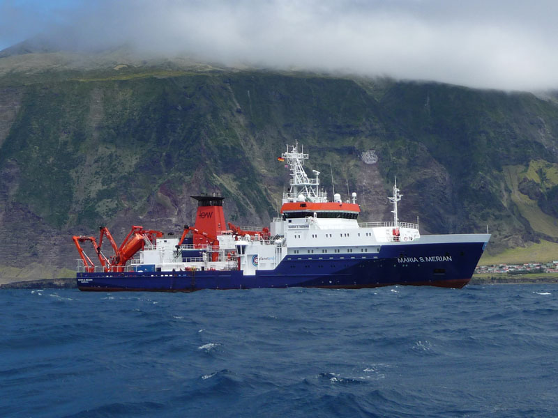
MARIA S. MERIAN MSM96
- Area:
- North-Eastern Atlantic
- Time:
-
10.10.2020 - 10.11.2020
- Institution:
- GEOMAR
- Chief scientist:
- Timm Schoening (13 attendees)
During cruise MSM96, a systematic, multi-scale sampling and analysis for geochemistry and seafloor features across the North East Atlantic deep sea will be conducted. A spatially hierarchical sampling scheme from local, via regional, to basin-scale – will be applied to map the heterogeneity of benthic geochemical solid-phase and pore-water composition and seafloor substrate types along a transect crossing the NE Atlantic Ocean from the Porcupine Abyssal Plain (PAP) via the Central Western European Basin (CWEB) to the Mid-Atlantic Rise (MAR).
At sampling stations, a hierarchical surveying scheme will be employed to acquire data at multiple resolutions and spatial coverage - from km-scale down to cm-scale. Multi-beam maps provide the survey area overviews. Towed camera observations link those maps with the meter-scale distribution of benthic habitats and seafloor substrate types. Seafloor sampling with a TV-multicorer will provide point samples for major and trace elements.
Basic geochemical composition (nutrients, TOC, trace metals) of the sediment will be measured, followed by a systematic evaluation of REY heterogeneity in sediments and pore waters across the oceanic basin. This includes concentration measurements and comparing shale-normalized patterns from local to basin scale and in relation to topography.
Sampling targets the visible seafloor surface as well as depth profiles for the upper ca. 30 cm to identify dominating geochemical processes in the surface sediments.
Machine Learning will be applied at sea and post-cruise to link the separate data domains. First, automated image analysis will be applied at sea to extract quantitative semantic information from OFOS imagery. Secondly, during the evaluation phase, image-derived seafloor characteristics will be linked to centimeter-scale geochemical surface sampling results. This extrapolates geochemical measurements to meter-scale observations of substrates and habitats. Third, habitat mapping links the automatically computed camera observations with kilometer-scale hydro-acoustics. This allows extrapolating meter-scale observations from images to regional maps.
During the cruise, we will conduct the data acquisition and analysis within the framework of current marine digitalization and research projects. Physical samples will be identified by IGSNs for long-term provenance documentation. Data will be acquired and processed towards complete open-access publication according to workflows developed in the DAM and MareHub working groups. Bathymetry will be acquired to complement the efforts of the iAtlantic project, and the DAM Bathymetry working group and will thus provide input for the GEBCO 2030 project.


