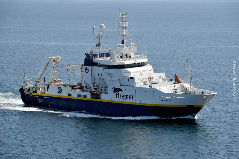
THALASSA THA-MSM40
- Area:
- Western North Atlantic; Irminger Sea; Labrador Sea
- Time:
-
06.08.2014 - 26.08.2014
- Institution:
- GEOMAR
- Chief scientist:
- Johannes Karstensen
The North Atlantic Ocean is one of the most important drivers for the global ocean circulation and its variability on time scales beyond inter-annual. Global climate variability is to a large extent triggered by changes in the North Atlantic sea surface state. The climate of Europe is strongly influenced by the circulation in the North Atlantic Ocean, in particular the eastward transport of warm water with the North Atlantic Current has a strong impact on the mild winters in Northern Europe. The North Atlantic Current is to be seen as a connection between the warm, Subtropical Gyre and the cold, subpolar Gyre. A driver for the connection between the gyres, and as such for the North Atlantic Current, is the water mass transformation, and in particular the sinking of water, in the Northern North Atlantic. Intense cooling in winter makes the surface water more dense and drives a sinking of the water (overturning). Certain regions, such as the Labrador Sea and the Irminger Sea, are susceptible for intense sinking. The water that has been transferred from surface to great depth spreads preferentially southward. The spreading is concentrated in intense currents that go along the western boundary, so called “Deep Western Boundary Currents” (DWBC). Beside the deep water formed in in the Subpolar gyre, the DWBC transport water from the overflow regions southward. The strength as well as the characteristic of the DWBC are an indicator for the integral effect of time variability in the formation region of the water masses. As such it is critical to survey the DWBC regularly and over long periods of time to create time series of flow and properties to be able to decompose the variability of the DWBC on its different time scales.
The scientific program from the RV THALASSA expedition MSM40 is dedicated to the studies on the intensity of the water mass transformation and the southward transport in the DWBC. The work program that is planned for the THALASSA MSM40 expeditions is composed of operations related to moored sensors and ship based observations.
Regarding moored sensor operations we will work in four areas: The “53°N Array” is located at the southern exits of the Labrador Sea. Currently GEOMAR has six moorings installed in the area. All these moorings will be serviced. The data will be read out and instruments calibrated. All six moorings will be re-deployed to last about 2 years, until 2016. The short mooring DSOW2 will be extended towards the surface with a moored profiler (McLane) to obtain daily high-resolution hydrography and current information at this site. The profiler mooring will be operating in connection to the moorings on the northern side of the Labrador Sea that are proposed to be installed within the OSNAP. One additional short mooring will be added at the open ocean flank of the array.
The second working area is in the far west of the Labrador Sea. Here a number of bottom pressure sensors have been installed in 2012 and will be recovered.
The third and fourth working areas comprise the central Labrador Sea (K1 mooring & RAFOS sound source) and the central Irminger Sea (CIS & LOCO mooring). These areas are susceptible to very deep mixed layers in winter. The moorings will be redeployed, and K1 will be extended to cover the full water depth. CIS and K1 will be equipped with data telemetry systems, that are permanently located at the surface to transfers a subsample of the instrument recordings in near-real time (every 4h) to shore.
Moreover, the surface telemetry modules will be equipped with basic meteorological sensors (air temperature, surface pressure).
One focus of the ship based observations is on CTD/O2/lADCP (CTD+) casts. At the very beginning of the cruise we will do a CTD+ cast at “Station 27” - this will be our test station but also a contribution to one of the longest time series stations globally (and part of the ICES hydrography program). The CTD+ work will be mainly used for the calibration of moored instrumentations.
Underway data will be collected, which include single depth data from the Thermosalinograph (Temperature, Salinity), and surface meteorological observations but also ship mounted ADCP systems (currents in upper 500 to 1000m). In particular in the region between the shelf break and the open ocean an underway CTD system will be used to survey the hydrography in the upper 300m from the moving ship (full speed).