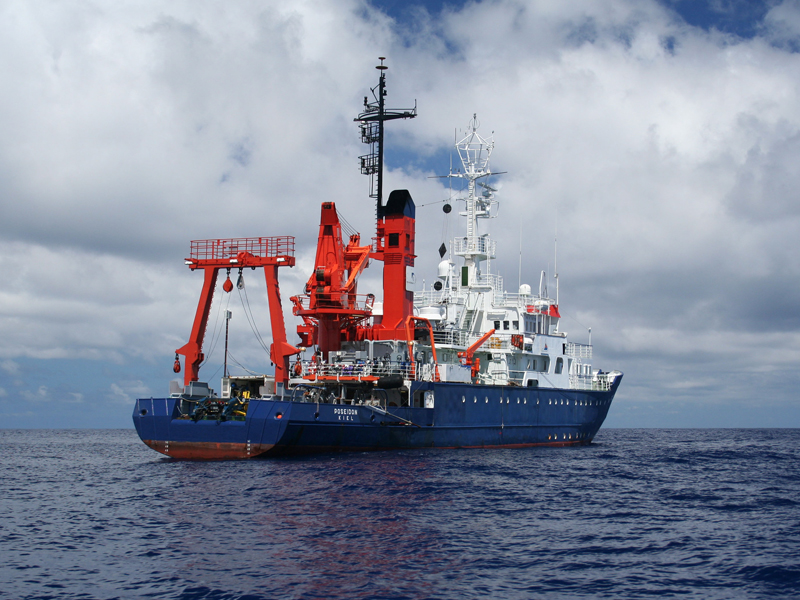
POSEIDON POS453
- Area:
- Eastern Atlantic; Galizien
- Time:
-
22.05.2013 - 12.06.2013
- Institution:
- GEOMAR
- Chief scientist:
- Dirk Klaeschen
During the opening of the Atlantic Ocean Portugal and Spain got separated from Newfoundland. Such a continental breakup is preceded by stretching and thinning of the continental crust and lithosphere. At some continental margins, such as the margin west of Galicia (northern Spain), late stages of extension are dominated by motion on faults with very low angles of dip underlain by serpentinized peridotite, and thought to be upper mantle exhumed to the seafloor during rifting. This deformation, with rotated continental crustal blocks, is highly three-dimensional, but has yet to be imaged in three dimensions.
In June-July 2013, a three-dimensional seismic survey will be conducted on the Galicia margin by project partners from USA, UK, and GEOMAR. The project will involve the largest academic three-dimensional seismic survey completed to date while making 3-D images of the water column, and the upper 20 kilometers of the rocks under the seafloor. The survey will be carried out by RV MARCUS G. LANGSETH, owned by the NSF and operated by the Lamont-Doherty Earth Observatory (USA)and will cover a rectangular area of 86 by 22 kilometers.
In May-June, before the Langseth sets sail from Vigo (Spain), the German Research Vessel POSEIDON leaves Vigo with scientists from GEOMAR and the United Kingdom to deploy 78 ocean-bottom seismometers and collect contemporary hydrographic data in a grid on the same area of ocean floor that the Rice University (USA) team on the LANGSETH will survey. The ocean-bottom seismometers will record all airgun shots of the 3d-seismic system and give additional information about the rocks of the continental crust and upper mantle. The aim is to use the resulting unique dataset to enhance the understanding of large-scale lithospheric extension as well as to provide a possible constraint for seismic oceanography analyses.