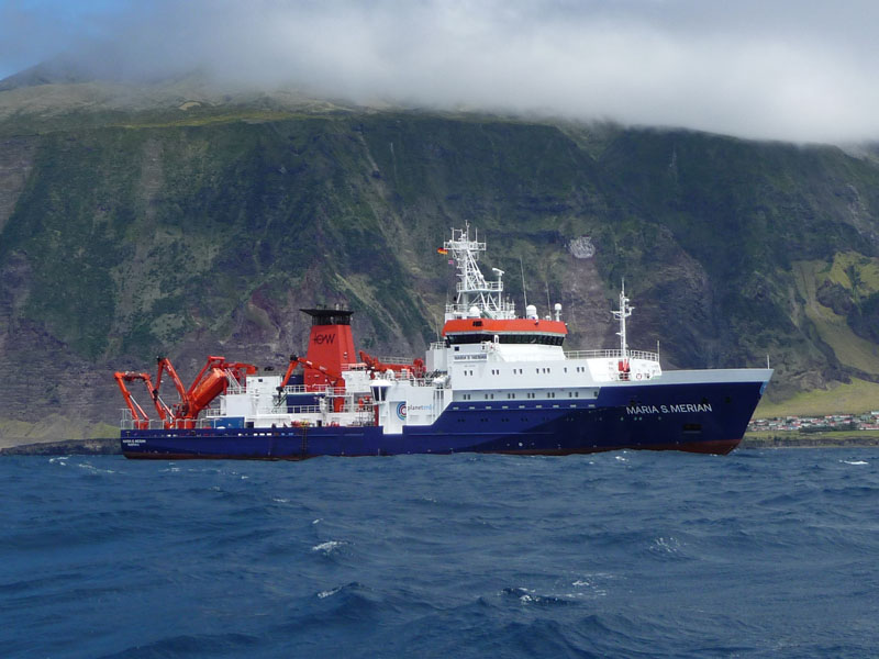
MARIA S. MERIAN MSM75
- Area:
- North Atlantic
- Time:
-
29.06.2018 - 08.08.2018
- Institution:
- GEOMAR
- Chief scientist:
- Colin W. Devey
Hotspot-influenced spreading axes are characterized by a shallow axis, thickened crust, and possibly by higher-than-normal eruption frequency, all signs of an excess of magma and heat being supplied to such ridges by the hotspot. Despite this, these ridges are also characterized by an apparently lower than average incidence of high-temperature hydrothermal venting, raising questions about their thermal budget and ultimately their role in generating seafloor mineral deposits. The type example for hotspot-ridge interaction is the Reykjanes Ridge south of Iceland, which shows abnormally shallow bathymetry between the Reykjanes Peninsula at ca. 63°N and the Charlie Gibbs Fracture Zone at 53°N. The seafloor surrounding the present spreading axis is also characterized by V-shaped bathymetric ridges, thought to be produced by regions of excess melting migrating along the axis through time. Although the Reykjanes Ridge has been extensively mapped and sampled, many fundamental questions of plume-ridge interaction remain unanswered, such as:
1. Is the reduction in crustal thickness observed away from Iceland coupled to fewer eruptions or to eruptions with the same frequency but smaller volume? Does the eruption frequency at any one locality change significantly over time? How does this affect sulphide accumulation?
2. Is the reduction in magmatic activity away from Iceland matched by a parallel increase in tectonic activity? Again, how does this affect the pathways needed to form sulphide accumulations?
3. Are the V-shaped ridges related to areas of increased eruption frequency/volume?
4. How is the thick crust cooled despite the apparent paucity of high-temperature vent fields? What form does hydrothermal venting take on such thick crust?
5. Can we model the relationship between crustal thickness, eruptive history and observed heat release? Can this model be predictive for the mineral endowment of thickened ocean crust back in time?
Many of these questions can only be answered with a knowledge of the geology of the ridge - flow sizes, flow ages, locations of hydrothermal venting, localisation of deformation - at different points along the crustal thickness gradient. To answer them we therefore propose to produce geological maps of four key areas along the ridge - one with thickened crust where a V-shaped ridge intersects the present-day axis, one with thickened crust but no on-axis V-shaped ridge anomaly, a third with more normal crustal thickness and an axial valley and a fourth at the only known, but up to present unsampled, Reykjanes hydrothermal site Steinaholl. Producing these geological maps will require a combination of detailed bathymetric mapping, precise sampling and innovative dating methods.


