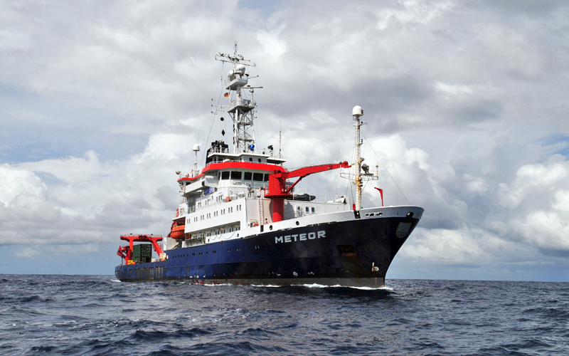
METEOR M86/3
- Area:
- Mediterranean Sea, Adria
- Time:
-
20.01.2012 - 04.02.2012
- Institution:
- GEOMAR
- Chief scientist:
- Heidrun Kopp
The exact knowledge about tectonic plate boundaries is a prerequisite to assess the risk of natural hazards like earthquakes or tsunamis. Below the Adriac Sea and the Dinarides several are colliding. The Adriatic Sea is a highly active seismic region as many earthquakes have demonstrated. One of the strongest ever recorded earthquakes in Europe occurred in 1979 off the coast of Montenegro (Mw=7.1). Nevertheless the geometry of the lithosperic plates below the Adriatic Sea is still controversial. Even the number of plates is unknown. Scientists assume the existence of two microplates based on teleseismic and satellite data. Partners from Germany, Albania, Croatia, Italy and Montenegro now work together to build up two seismic transects from Apulia (Southern Italy) through the Adriatic Sea to Montenegro and Northern Albania respectively. The marine part of the work is carried out by scientists onboard the German RV METEOR during its cruise M86/3. With the seismic measurements the scientists want to gain insights into the composition of the lithospheric plates of the Adriatic Sea and the positions of the plate boundaries. Additionally the seafloor in the source region of the 1979 earthquake will be mapped precisely. At the same time geophysicists from the German Research Centre for Geosciences (GFZ) as well as colleagues from Italy, Albania, Croatia and Montenegro conduct seismic measurements onshore in Southern Italy and in the Dinarides. The scientific work across many land and maritime borders contributes to a better assessment of natural hazards for the adjoining countries.
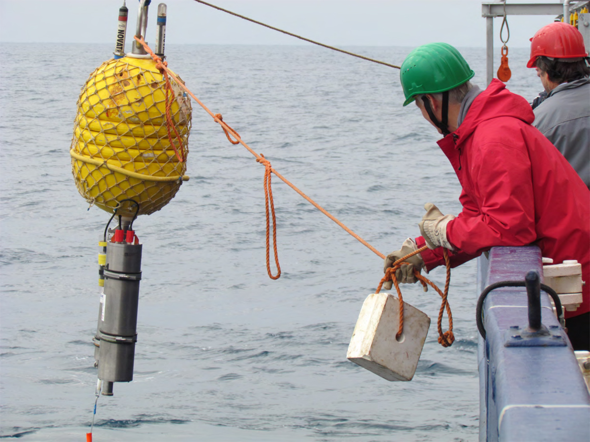
An Ocean bottom hydrophone is launched from RV METEOR in the Adriatic Sea. Photo: Heidrun Kopp, GEOMAR


