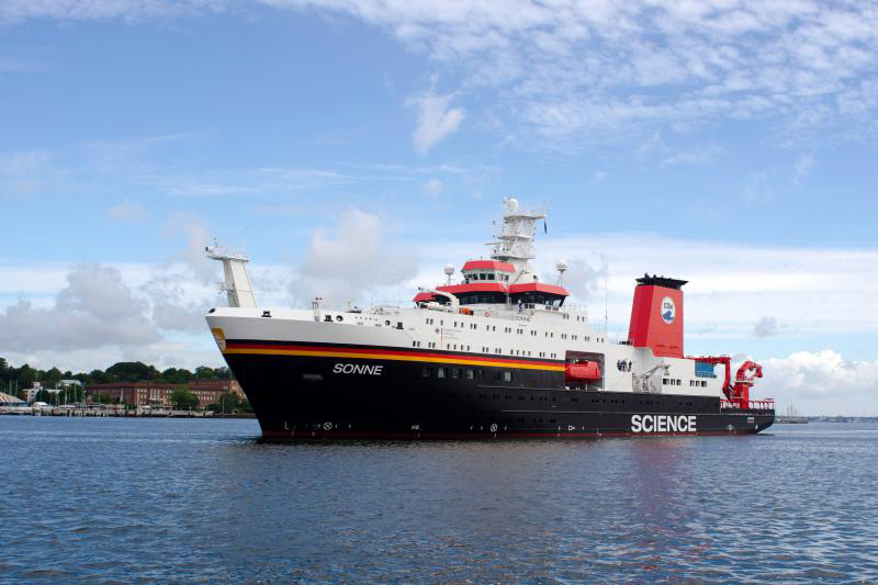
SONNE SO288
- Area:
- Eastern South Pacific
- Time:
-
15.01.2022 - 15.02.2022
- Institution:
- GEOMAR
- Chief scientist:
- Heidrun Kopp
The ocean floor is the outer solid shell for over 70% of our planet. Nevertheless, this 'skin' is by no means rigid, but is continuously moved and deformed in the course of global plate tectonics. These processes lead to tectonic stresses building up in the seafloor, which over long periods of time become so large that they suddenly and usually (still) unexpectedly discharge in an earthquake. In the marine environment, strong earthquakes also pose the risk of tsunamis, as in 2004 off Sumatra or in 2011 off Japan. In our closely interconnected global society and economy, such events also have an impact on Germany, e.g. through tourism, scarcity of resources or political decisions such as the phase-out of nuclear power in the wake of the Fukushima disaster. Subsequent analyses show that surface deformation due to stress release during an earthquake is concentrated on the seafloor and is therefore often associated with the triggering of tsunamis. The seafloor thus holds information on stress and elastic deformation, as well as on the generation and progression of earthquakes and resulting tsunamis. This information can be methodically obtained through the new field of seafloor geodesy via acoustic distance measurements, tilt and pressure change measurements in high (cm) resolution. For this purpose, a network of measuring stations was developed within the framework of the GeoSEA project (Geodetic Earthquake Observatory on the SEAfloor), which is funded by the BMBF, in order to be able to record deformation directly on the seafloor. In order to arrive at an improved hazard assessment of strong earthquakes, three marine geodetic networks were installed off northern Chile in 2015 on the lower and middle continental slope and the 'outer rise' to record seafloor deformation in the Iquique segment of the plate boundary between South America and the Nazca Plate (GeoSEA network, SONNE cruise SO244). The goal of these observations is to be able to directly measure the stress buildup described above and use it to refine estimates of the hazard situation. Since the expected deformation rates are low (a few cm/year at most), the stations had to remain on the seafloor for several years, where they measured autonomously in water depths ranging from 2.5 to over 5 km. Recovery of the seafloor transponders after their 3-year battery life requires the use of a remotely operated underwater robot (also called a remotely operated vehicle or ROV for short). The transponders measure distances within the networks as well as slope, pressure, and water temperature. Seafloor morphology has been studied by high-resolution mapping using underwater drones (autonomous underwater vehicles or AUVs), but knowledge of the structures beneath the seafloor in the vicinity of the networks is lacking. These should be revealed by high-resolution seismic techniques (including ocean bottom seismometers to obtain velocity-depth information and to be able to establish depth sections) complemented by visual seafloor surveys (ROV camera) and sampling to be able to evaluate the geodetic signals differentiated according to their origin, depending on the degree of coupling or creep of interseismic type, as well as the distribution of deformation at the plate boundary and within the upper continental plate.


